

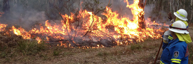
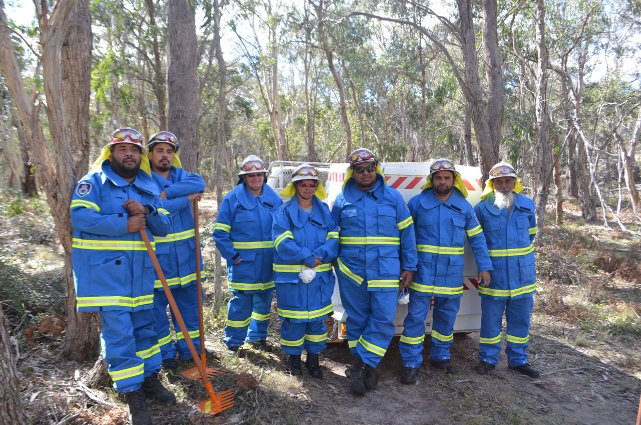
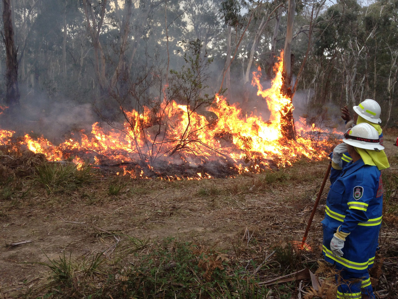
On Sunday the 16th of August two of the monitoring plots at Wattleridge IPA were burnt by the Banbai rangers and Rural Fire Service (RFS) using cultural burning techniques. After two years of baseline monitoring by the Firesticks ecologist, the weather and conditions were right for the burns to go ahead. After cold and wet weather conditions that delayed the burn for a few weeks, their patience paid off as the burn was a success with the rangers and RFS managing the containment lines that had been set up by the Banbai rangers.
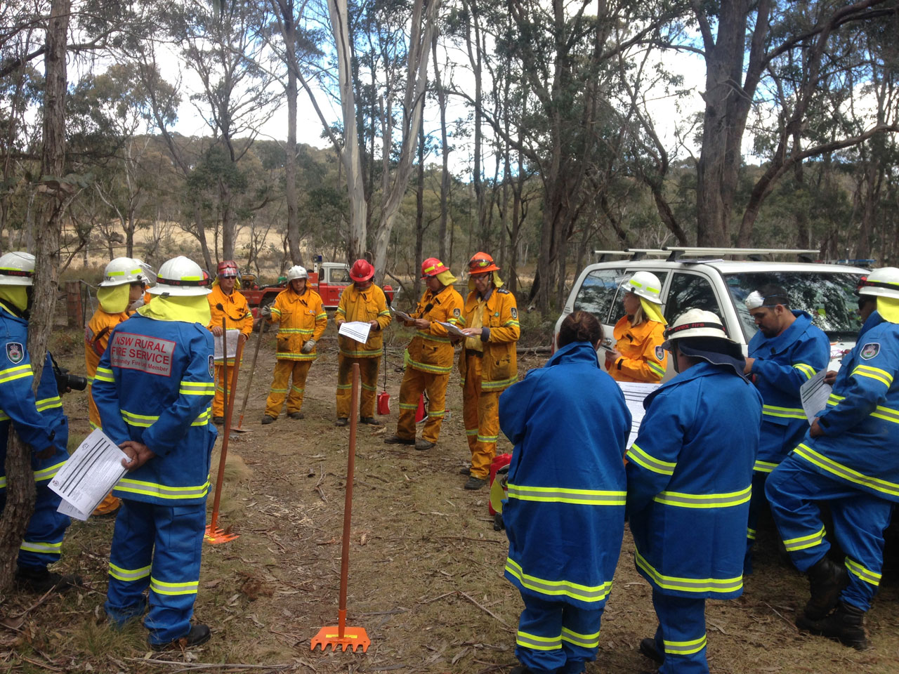
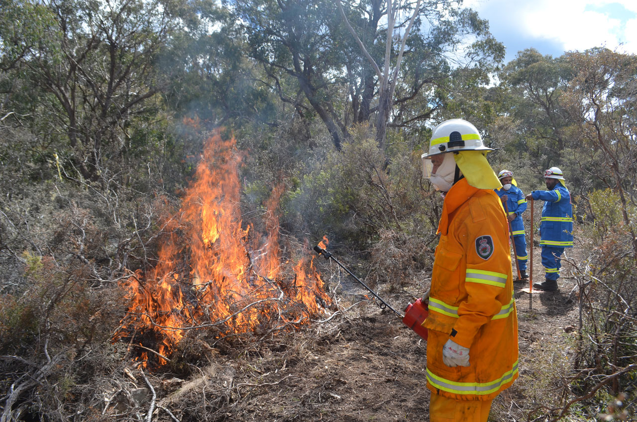
Wattleridge IPA rangers and the Rural Fire Service are ready for the cultural burn
There were two main aims in burning the monitoring plots- the primary aim of the burn was to compare the faunal use of the plot before and after a cultural fire. Two years of baseline monitoring was recently completed by Firesticks ecologist David Milledge to determine information about the presence and abundance of animals in the plots. David Milledge and the Banbai rangers will now carry out two years of post fire monitoring to assess the animals’ response to the fire. Michelle McKemey- a PhD candidate with the University of New England- also set up a BACI (Before-After-Control-Impact) experiment using both burnt and un-burnt sites, which employ detailed ecological surveys to monitor plant response, habitat changes and targeted species response to fire, as well as changes in fuel load and hazard rating.
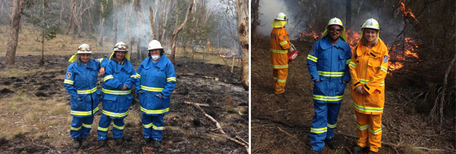
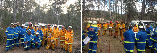
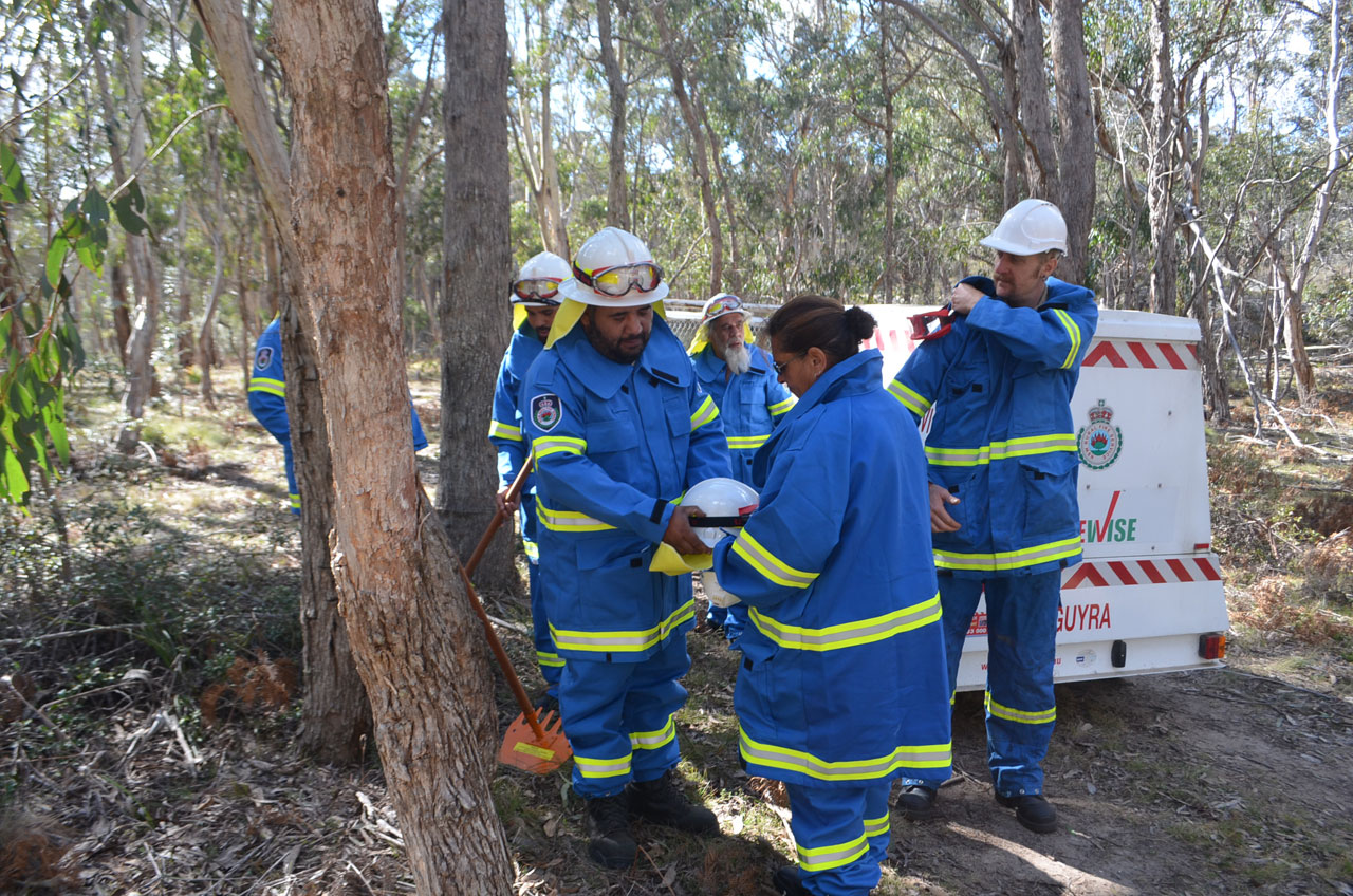
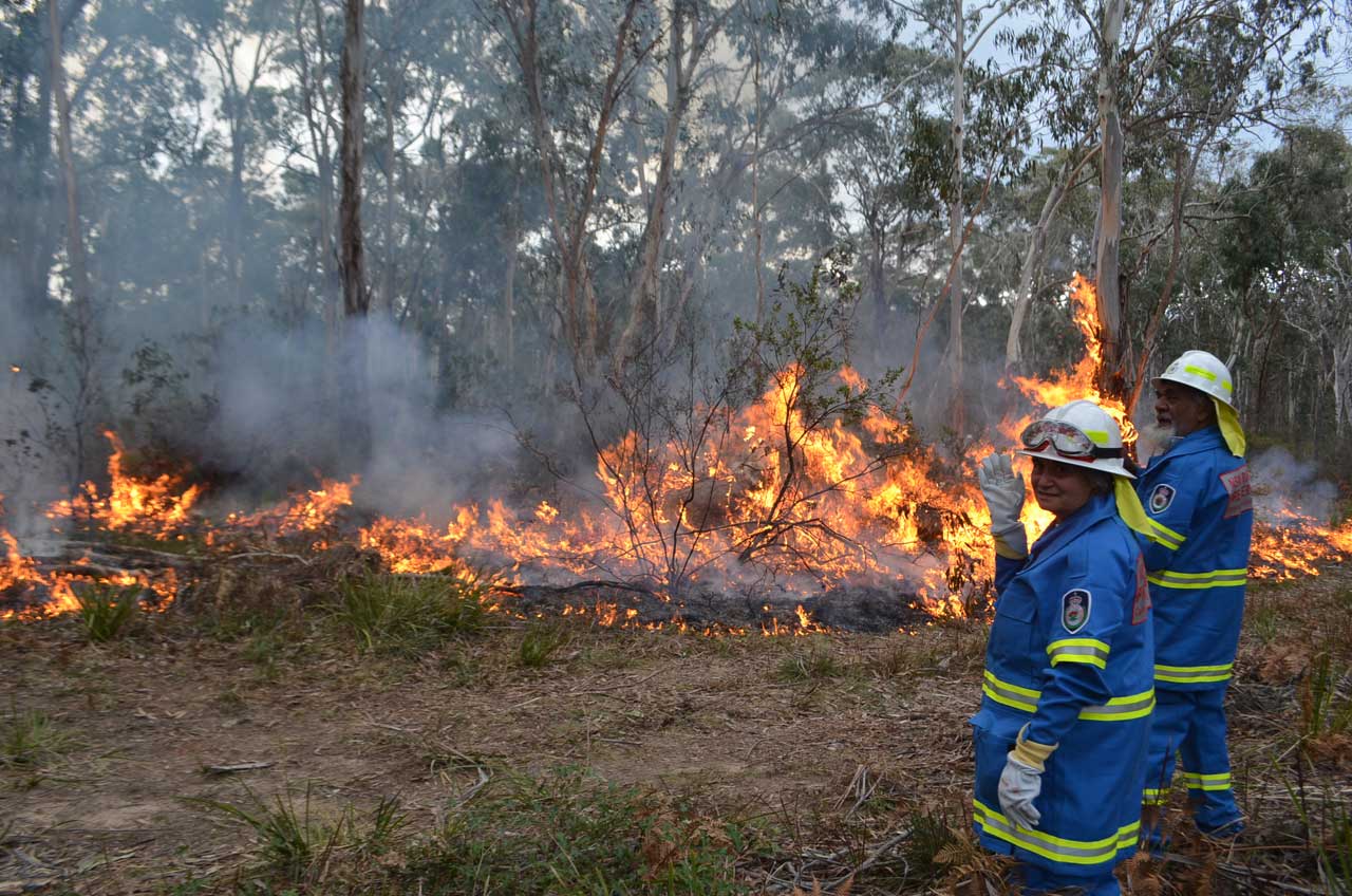
Wattleridge IPA rangers were happy with the progress of the fire
The other aim of the burn was a training and collaboration exercise between the RFS and Banbai rangers, to provide a two-way knowledge exchange of burning, and to safely implement a prescribed burn. This enabled the rangers to apply new bushfire fighting skills acquired last year in training provided by the Firesticks Project and the NSW Rural Fire Service Bushfire Resilience for Aboriginal Communities (BRAC) program.Similarly the burn provided an opportunity for the Banbai rangers to use their new Community Fire Unit (CFU) on the fire ground particularly utilising the generator and pump to supply water from the adjacent river. As a part of her research, Michelle McKemey also interviewed the Banbai rangers on their approach to fire management to record Indigenous knowledge relating to fire, in this process she took video recordings of the rangers explaining what they were doing and why.
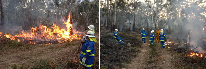
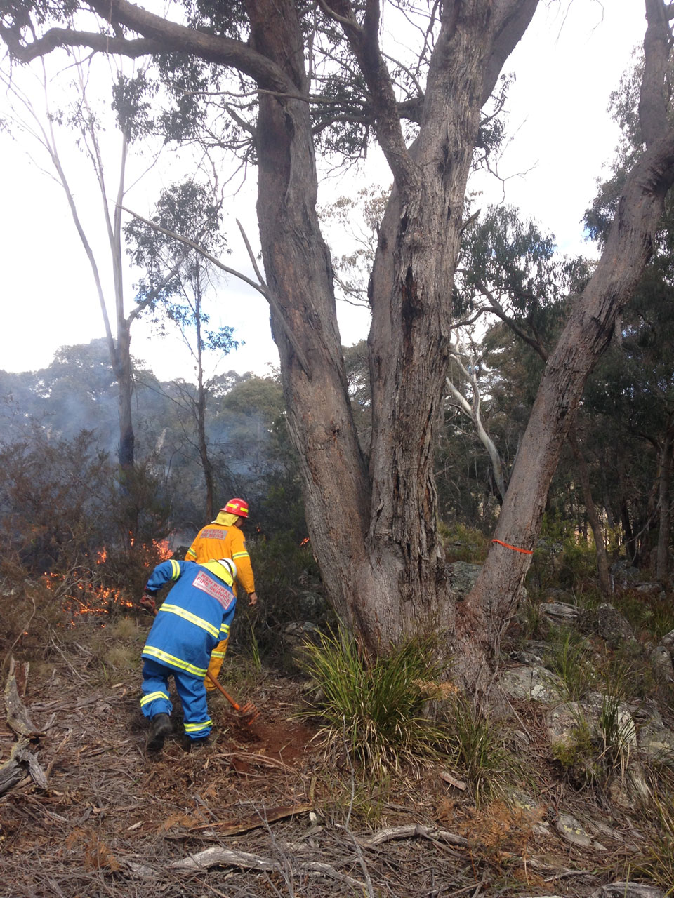
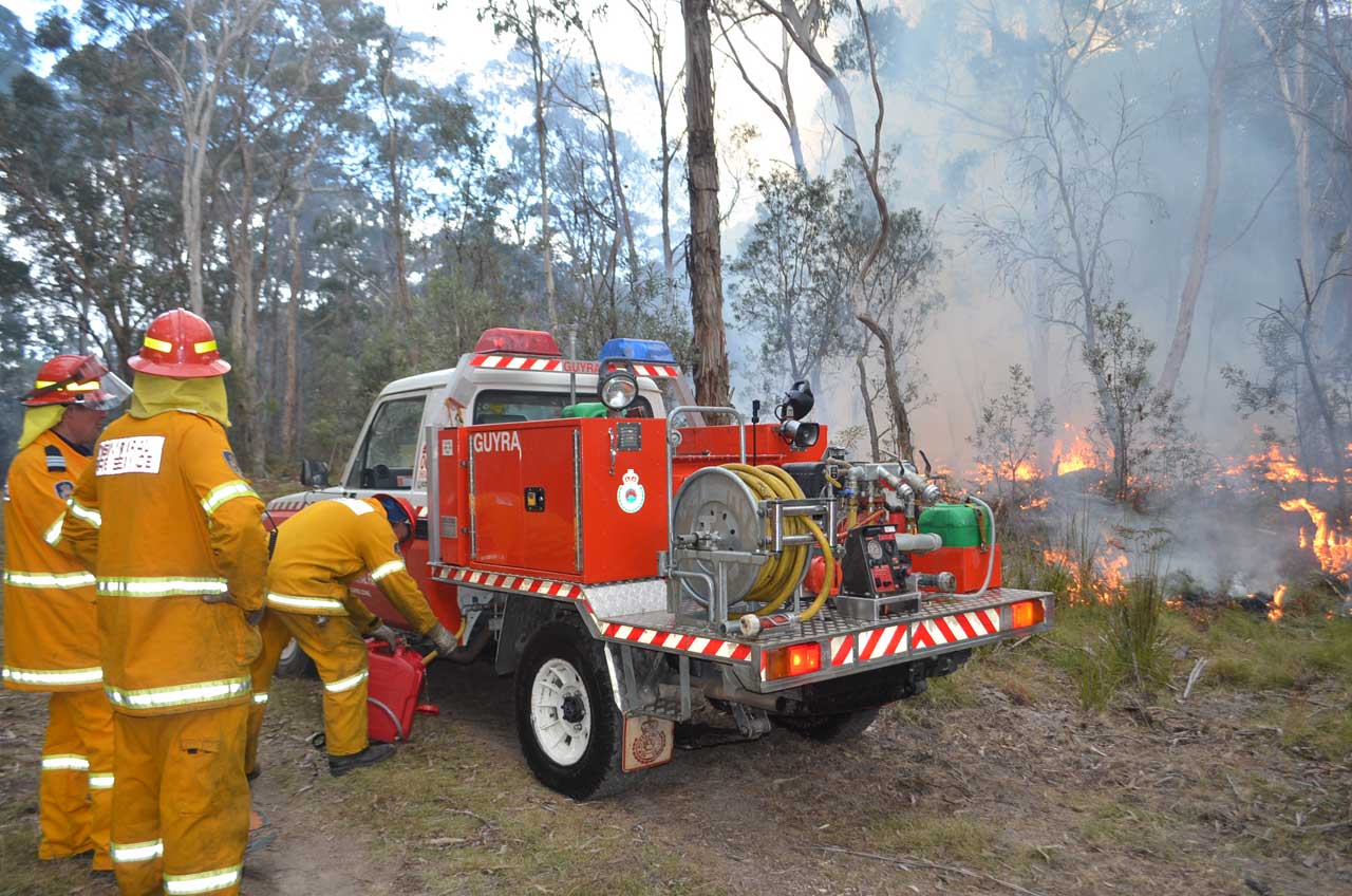
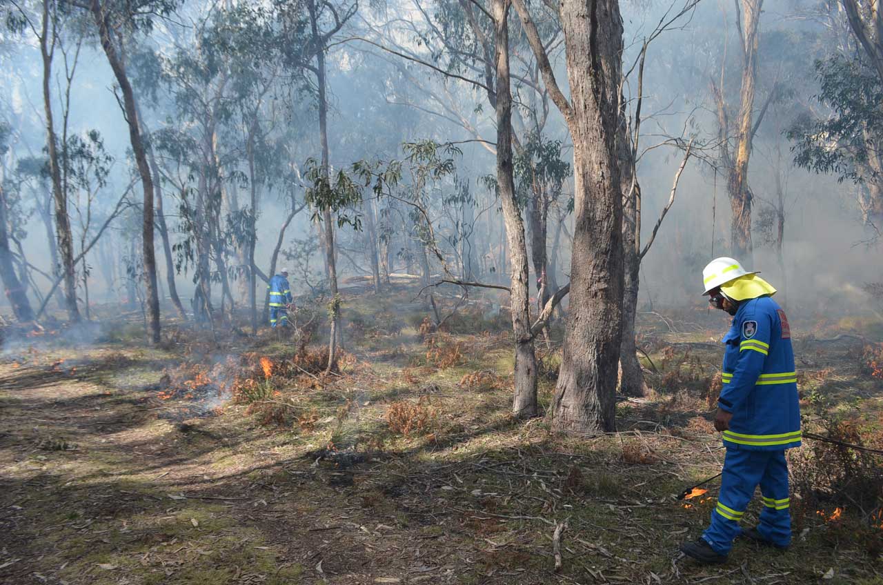
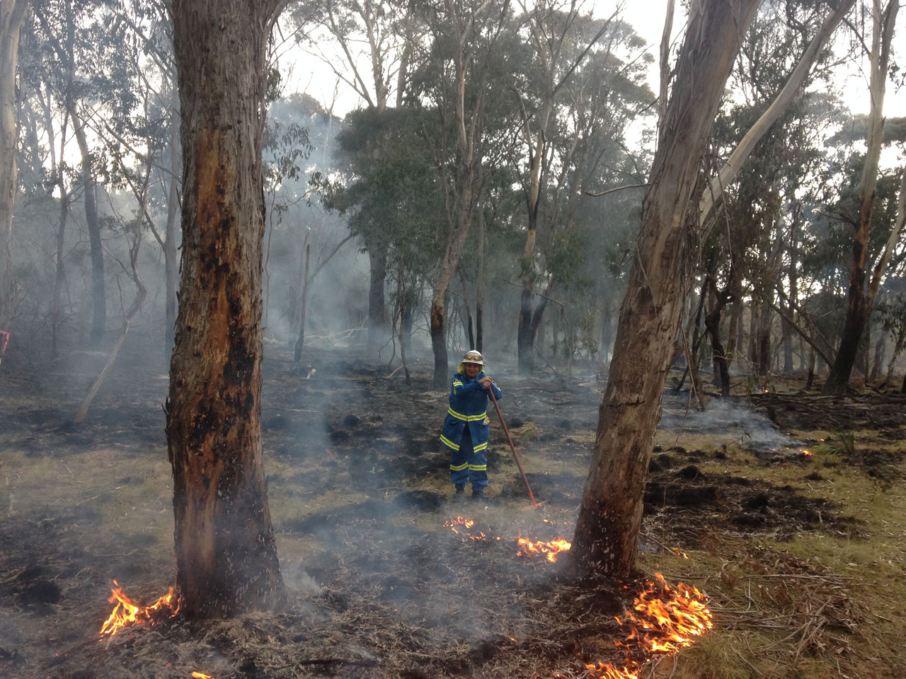
Wattleridge IPA rangers manage the fire containment lines
Prior to starting site preparation works a hazard reduction certificate was approved by the NSW RFS and a suitable burn plan was developed in order to clearly articulate the key objectives and desired outcomes of the burn. Other pre-fire preparation work involved hiring a small grader to clear containment lines. A spot fire did occur in one corner due to a large tree being blown down across a control line but the rangers and RFS were able to keep it under control. Rangers and RFS worked closely together to maximise information exchange and the two way learning experience where both parties benefited.

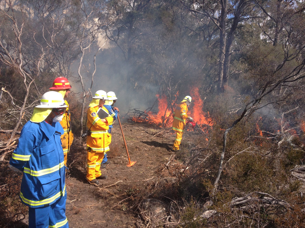
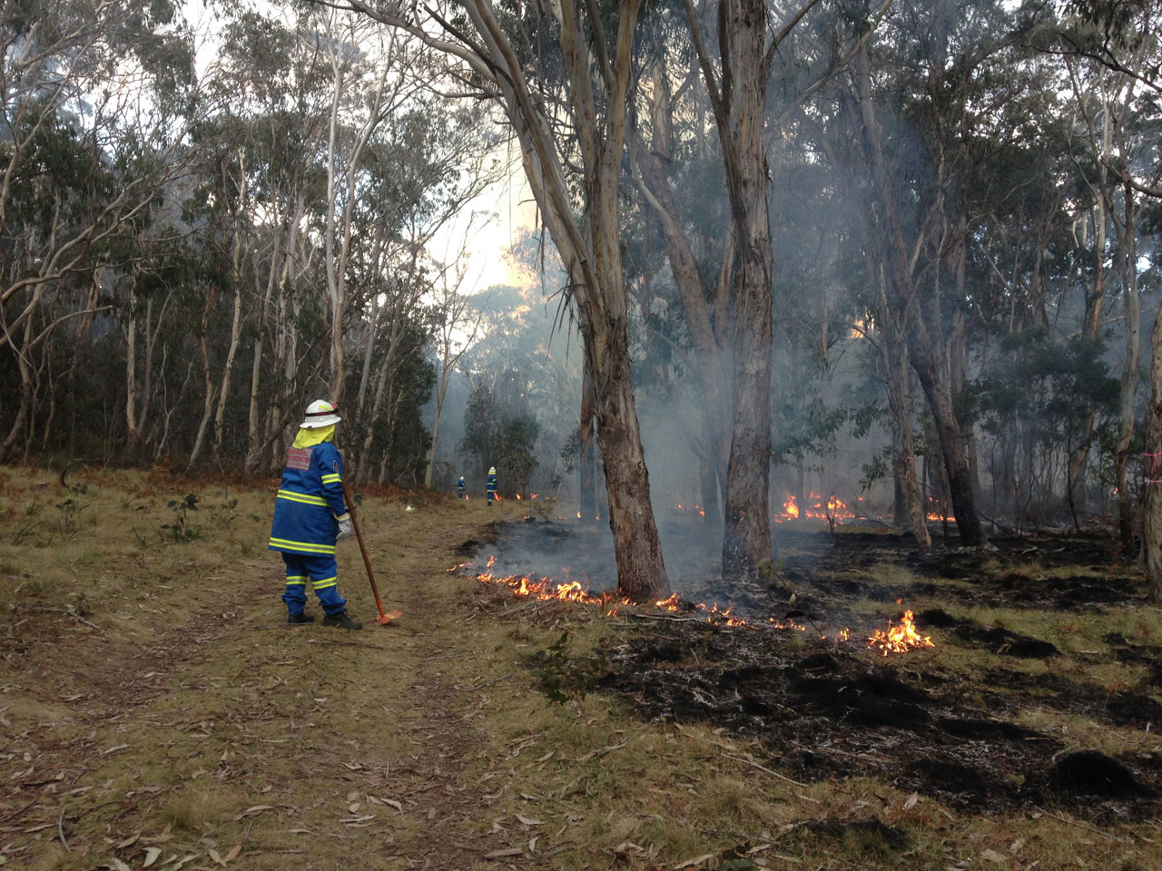
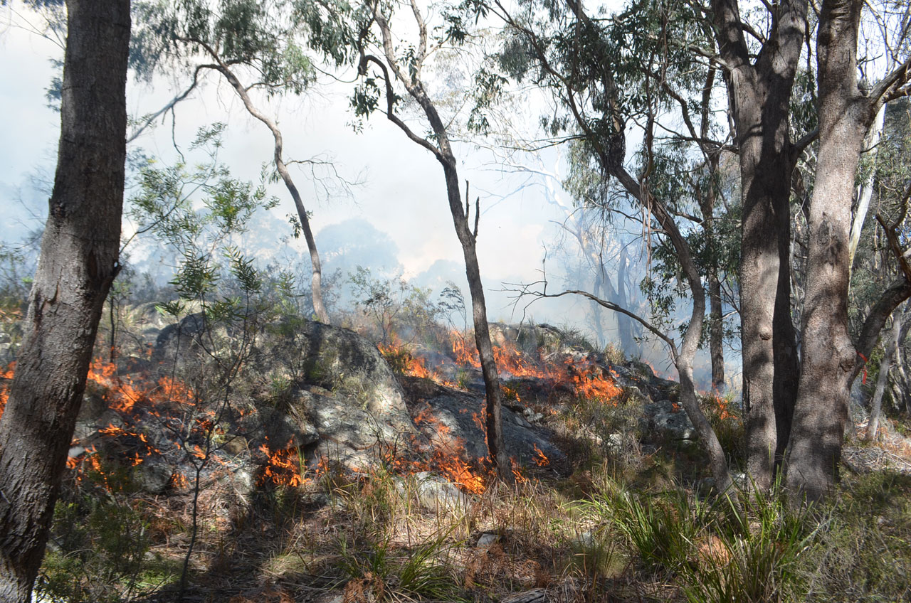
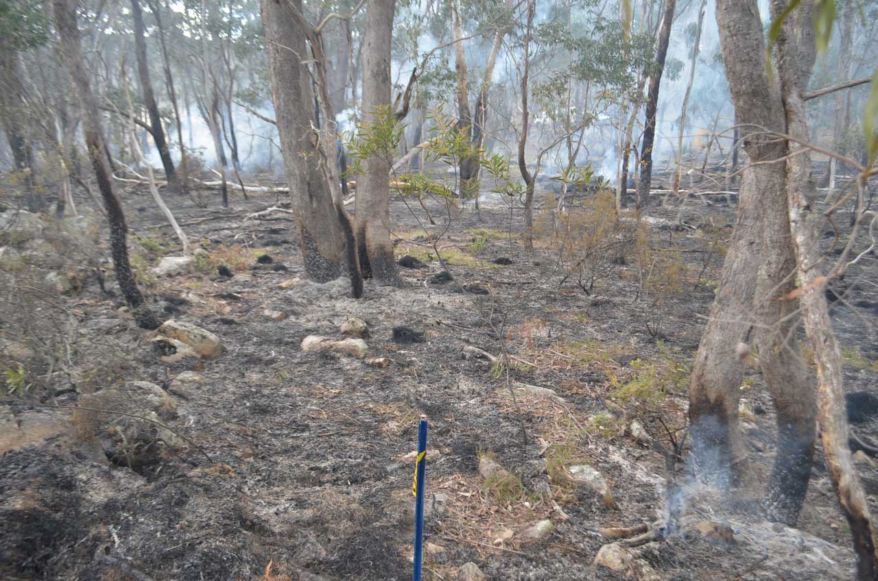
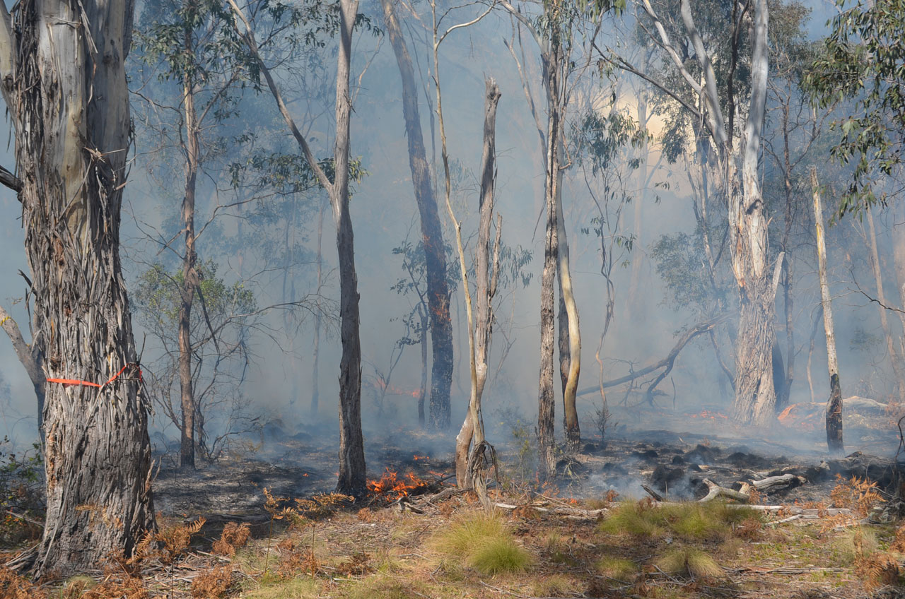
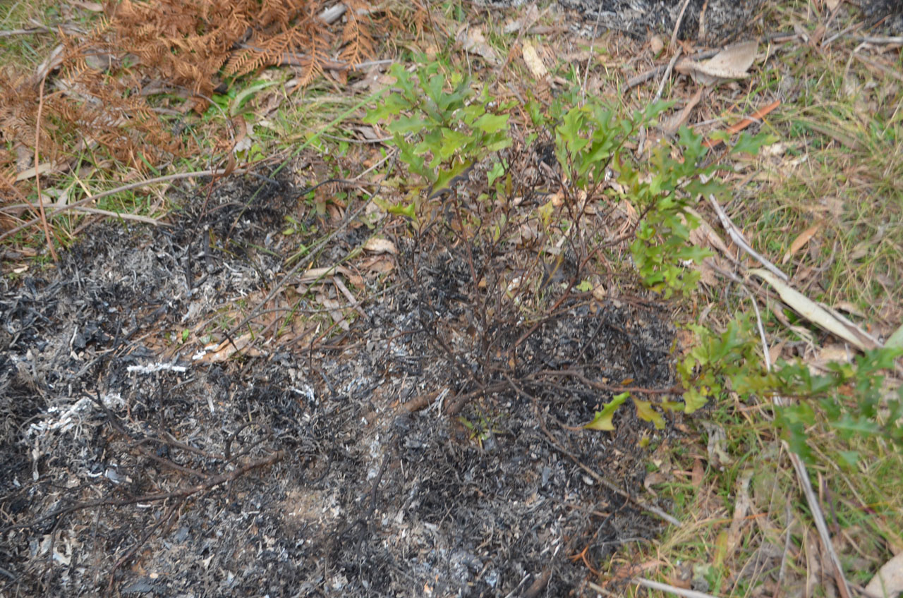
The mosaic pattern of the fire left burnt and un-burnt areas
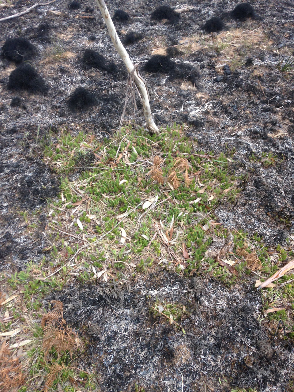
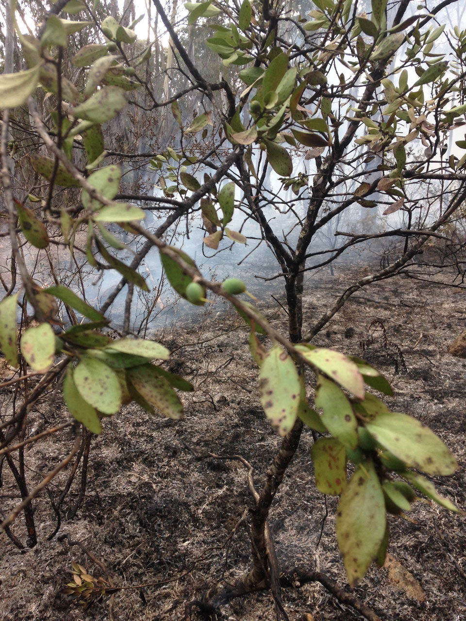
The result of the burn was a patchy mosaic of burnt and un-burnt areas. Some areas burnt more intensely than others, the determining factors being natural variance due to the time of day, temperature, rain/dew and fuel load. This variation ensured that habitat such as logs and leaf litter, plus food species such as the Broad-leaved geebung (Persoonia cornifolia) were left intact providing a resource for the fauna that remain in the area.
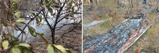
Broad-leaved geebung (Persoonia cornifolia) and habitat logs survived the fire, they provide food and habitat for fauna that remain in the area
Two target species identified by the Banbai community as being of cultural and ecological significance are being monitored collaboratively as a part of the post burn assessment. One species is the Echidna –Tachyglossus aculeatus– which is a culturally significant species: it features in the rock art at Kukra which is the Banbai word for echidna. It was eaten in the past and is still occasionally eaten in some parts of Australia, it is also used as the symbol for Banbai Land Enterprises. Monitoring involves measuring the extent of signs of echidnas for example: diggings, snout pokes, foraging impact on logs and ant nests, as well as measuring the length of logs and depth of leaf litter which are important habitat for the echidna, in experimental control and treatment plots. ‘Messy’ woodlands where the ground layer is characterised by fallen logs, extensive leaf litter and rocky areas make ideal foraging habitat for the echidna. These sorts of areas provide ant and termite nests and other sources of food for this species (Lindenmayer et al 2005).
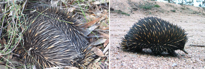
Echidna -(Tachyglossus aculeatus) is a culturally significant species at Wattleridge IPA
The second species is the Backwater grevillea Grevillea scortechinii subsp. sarmentosa (3VCi; Schedule 2, Vulnerable, TSC Act). This species is known from two areas in NSW, Backwater and Mann River NR, and is very abundant in both Warra National Park and Wattleridge IPA. It has been noted to germinate en-mass after fires in Warra NP, and some very large and apparently old stands, up to 2 m in height, are known from Wattleridge IPA. Possibly as many as 20 000 individuals occur in the study area of Wattleridge IPA and Warra National Park (Hunter 1996). The Banbai community are interested in knowing how fire impacts on this shrub as they are responsible for managing one of the only places in the world that the Backwater grevillea occurs abundantly. Collaborative monitoring between Banbai rangers and Michelle McKemey involved measuring the height and width of individual shrubs, counting total shrubs, monitoring fruiting and flowering in experimental control and treatment plots before and after fire.
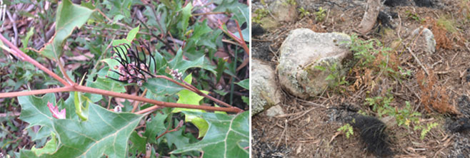
Backwater grevillea (Grevillea scortechinii subsp. sarmentosa) is an ecologically significant species at Wattleridge IPA
It is too early at this point to determine how the Backwater grevillea responded to the burn. This grevillia is a prostrate shrub which grows close to the ground and could be found across a large area of the burn site. Ongoing ecological monitoring will determine how the Backwater grevillea responded to the burn although anecdotal evidence from past burns on the property suggest the right kind of fire can stimulate seed activation. Due to the fact that some areas burnt hotter than others the monitoring should provide some excellent data to determine suitable fire intervals for the species. Fortunately, there was a good amount of rain in the fortnight following the burn so we hope that this will encourage seedlings to germinate and survive. Wildlife monitoring cameras were set up on some of the plots at Wattleridge IPA to see which animals use the area after the burn- we are especially interested to see if an echidna visits. The rangers and Michelle will visit the plots regularly to see what is happening. The day after the burn there were a lot of Kookaburras in the plots, they may have been looking for prey flushed out or injured by the fire.
The Firesticks Project would like to extend our gratitude to District Technical Fire Mitigation Officer Elaine Van Dyke for providing ongoing guidance, support and developing the burn plan in collaboration with the Banbai rangers and the Firesticks Project. We would also like to thank Group Captain Trevor Strudwick for supervising the burn and Brigade members from Guyra, Ben Lomond, Hillgrove and Dangersleigh Brigades for coming out on a Sunday to assist the rangers with the safe implementation of the burn.


Photos kindly supplied by: Greg Steenbeeke, Michelle McKemey and Richard Brittingham
References:
Lindenmayer, D.B.; Crane, M.; Michael, D. Woodlands. A Disappearing Landscape; CSIRO Publishing: Melbourne, VIC, Australia, 2005.
Hunter, J. T. (2005). “Vegetation and floristics of Warra National Park and Wattleridge, Northern Tablelands, NSW.” Cunninghamia 9(2): 255-274.
Hunter, J.T. (1996) Draft Recovery Plan for Threatened Species at Backwater. Unpublished report to the NSW National Parks & Wildlife Service.