


Reconnecting with the Helmet Range
On Wednesday 27th of April a group of brave intrepid adventurers traversed the Helmet Range in order to establish a safe and reliable access to the property before future works are to commence. This group forms the collaborative partnership between the Gugin Guddaba Local Aboriginal Land Council (LALC), North Coast Local Land Services (LLS), Employment and […]

Animal Highway located at Wattleridge IPA
Monitoring cameras deployed at Wattleridge IPA have uncovered a secret animal highway previously unknown to humans. This highway has been used over the past three months by a range of different species. The landscape at Wattleridge is rugged and largely undisturbed with large granite boulders creating a range of habitats and refuges that are suited to […]
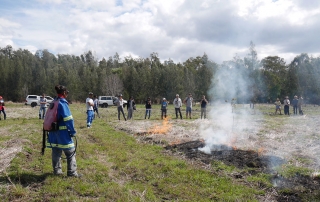
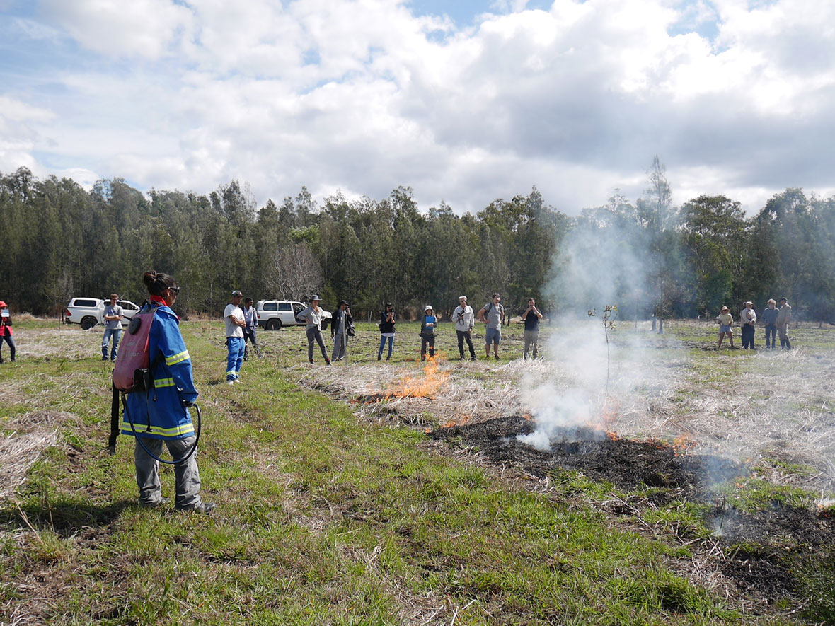
Boorabee and the Willows IPA post burn and targeted surveys
Despite very hot weather over the past week post-burn systematic and targeted surveys were carried out at Boorabee and the Willows IPA. Due to recent rain events access to Boorabee across the other side of the Severn River was not possible during this survey so separate targeted surveys will be carried out next year with […]
Post Burn and Targeted Surveys for Wattleridge IPA
The spring seasonal monitoring has been carried out for Wattleridge Indigenous Protected Area (IPA) research plots, the first surveys to be held since the plots were burnt in August this year. The survey was a large success despite the inclement weather a few days previous to the survey. Firesticks ecologist David Milledge was happy with the systematic and targeted surveys, […]